DHL Abholort 4.69 Hermes Kurierdienst 4.99 DHL-Kurier 3.99 Hermes-Stelle 4.49 GLS-Kurierdienst 3.99

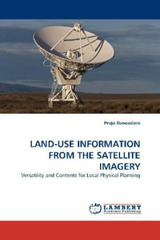
LAND-USE INFORMATION FROM THE SATELLITE IMAGERY

Sprache EnglischEnglisch
Buch Broschur
Buch LAND-USE INFORMATION FROM THE SATELLITE IMAGERY Projo Danoedoro
Libristo-Code: 06917018
Verlag LAP Lambert Academic Publishing, November 2009
Land-use mapping is one of the main applications of remote sensing. However, systematic land-use map... Vollständige Beschreibung
? points 206 b
82.12 inkl. MwSt.
Externes Lager Wir versenden in 9-11 Tagen

30 Tage für die Rückgabe der Ware


Das könnte Sie auch interessieren


Brush and the Spur Robert Joe Cutter / Broschur
common.buy 53.16
Erfolg Mit Multimedia Jürgen Schlieszeit / Broschur
common.buy 40.35
Genesee Robert Koch / Broschur
common.buy 27.84
Finance (No. 3) Bill Vol. 11 Dennis Stevenson / Broschur
common.buy 50.74
West Side Story Play-along Leonard Bernstein / Broschur
common.buy 13.71
Violent Femmes Rosie White / Broschur
common.buy 86.96
Impacto de la tuberculosis en la valoracion de calidad de vida Calizaya Vera Jessica Martha / Broschur
common.buy 75.76
Whale Hunt, A SULLIVAN / Broschur
common.buy 21.18
Teacher Training at Cambridge Mark McBeth / Broschur
common.buy 84.34
Topophilia and Topophobia / Hardcover
common.buy 293.80
Dreams of the Goddess Scarlett Ross / Broschur
common.buy 15.93
Shadow of the Albatross Greg Butcher / Broschur
common.buy 22.49
Imagining Vietnam and America Mark Philip Bradley / Broschur
common.buy 55.79
Spiritual Literacy in John Wesley's Methodism Vicki Tolar Burton / Hardcover
common.buy 67.69
Four Season Guy Saintelo / Broschur
common.buy 14.32

Land-use mapping is one of the main applications of remote sensing. However, systematic land-use mapping program at local level using satellite image processing is still rare to find. This book explains the importance of land-use information for local planning, and makes use Indonesian complex land-use phenomena as an example. This study proposes a concept of versatile land-use information system (VLUIS), which can be used to support various local physical planning tasks. The VLUIS develops five land-use dimensions comprising spatial, temporal, ecological and socio-economic aspects. Each dimension is processed using different analysis methods and can be presented as a separate map. However, all dimensions can be integrated in a single land-use database, ready for spatial queries and translation between classification systems. Examples are given using Landsat ETM+ and Quickbird imagery. This book is useful for those who practice or study geography and remote sensing, and for planners who need accurate and relevant land-use information in their daily activities.

Informationen zum Buch

Vollständiger Name LAND-USE INFORMATION FROM THE SATELLITE IMAGERY
Sprache Englisch
Einband Buch - Broschur
Datum der Veröffentlichung 2010
Anzahl der Seiten 320
EAN 9783838322520
Libristo-Code 06917018
Gewicht 495
Abmessungen 150 x 220 x 19
Verschenken Sie dieses Buch noch heute
Es ist ganz einfach
1 Legen Sie das Buch in Ihren Warenkorb und wählen Sie den Versand als Geschenk 2 Wir schicken Ihnen umgehend einen Gutschein 3 Das Buch wird an die Adresse des beschenkten Empfängers geliefert

Anmeldung

Melden Sie sich bei Ihrem Konto an. Sie haben noch kein Libristo-Konto? Erstellen Sie es jetzt!

 
obligatorisch
obligatorisch

Sie haben kein Konto? Nutzen Sie die Vorteile eines Libristo-Kontos!

Mit einem Libristo-Konto haben Sie alles unter Kontrolle.

Erstellen Sie ein Libristo-Konto